

The Met Office has provided an update on the potential arrival of a cold weather phenomenon known as the “Beast from the East” in the UK this month, with forecasts indicating a significant drop in temperatures over the upcoming week.
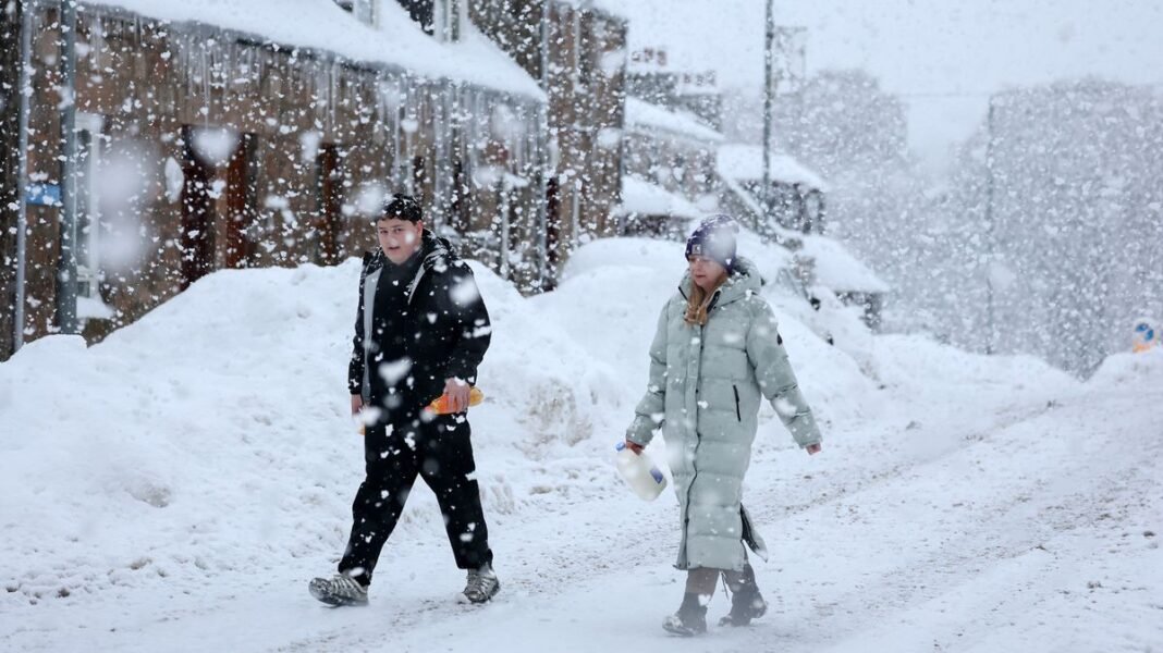
Earlier in the month, the agency issued a series of warnings as a severe cold spell gripped the country, leading to widespread icy and snowy conditions across vast stretches of land. The extreme weather triggered yellow, amber, and even a rare red weather alert, cautioning that the cold and snow could pose a threat to life and potentially isolate communities as temperatures in severely affected areas plunged well below 0°C.
There are indications that the worst conditions may still be ahead, as weather maps suggest a nationwide snow event and temperatures plummeting as low as -12°C towards the end of the month.
Projections from WXCharts point to a sharp chill settling in by the end of January, with initial signs of another potentially harsh cold snap emerging around January 28. By January 30, the maps depict a snow cover extending over 600 miles across the country.
The first snowfall is expected to commence on January 27, with showers anticipated to hit Wales, Scotland, and Northern Ireland around 6 am. Over the subsequent 12 hours, heavy snowfall reaching up to 0.4 inches per hour is forecasted to blanket nearly the entire country, stretching from Colchester in the south to just below Inverness in Scotland by 6 pm.
Following a brief lull, snowfall is anticipated to resume on January 29, covering the entire country in snow depths of up to two inches across more than 600 miles.
By 6 am on Friday, January 30, only London, the easternmost coast of England, parts of Devon on the far west coast, and some areas of southern Wales are expected to remain snow-free. Concurrently, temperatures are projected to drop significantly, with readings between -1°C and -6°C in England and around -5°C in Wales.
In Scotland, temperatures could plunge to as low as -12°C in exposed areas like Inverness, maintaining snow cover on the ground as it falls.
The Met Office’s latest long-range forecast aligns with WXCharts’ maps for the period from January 20 to 29, indicating a potential shift to colder conditions influenced by easterly factors, increasing the likelihood of snowfall across the country.
While acknowledging the uncertainty of this forecast, Met Office spokesperson Grahame highlighted that immediate temperatures are expected to remain near average, suggesting that the forecasted cold spell may evolve before heavy snowfall materializes in late January. Grahame emphasized that while a possibility of colder winds from the east exists in the final week of January, current indicators also suggest the persistence of milder southern air, mitigating the cold weather impact.